GEOTECHNICALENGINEERING1
POMONA
HomeGeophysicsElectrical resistivity / VES (Vertical Electrical Sounding)

Electrical Resistivity & VES Surveys in Pomona, CA

Rigorous testing. Clear reporting.

LEARN MORE

The alluvial fan deposits underlying Pomona tell a complex story of gravels, sands, and finer silts washed down from the San Gabriel Mountains. Knowing exactly where the coarse-bearing zones transition into saturated clays isn't something you can guess from a single boring log. That's where surface electrical resistivity and Vertical Electrical Sounding (VES) surveys come in: they map these lateral and vertical changes without turning half your site into a drilling grid. In our experience across the Inland Empire, combining a few well-placed borings with a dense resistivity grid gives the most reliable picture of what's underground. For sites near the 60 or 71 freeways where fill material is common, we often pair resistivity profiling with test pits to ground-truth the geophysical interpretations before finalizing foundation recommendations.

In Pomona's alluvial setting, resistivity contrasts between dry gravels and saturated silts are often sharper than what a standard boring log alone can reveal laterally.
Our service areas

Our approach and scope

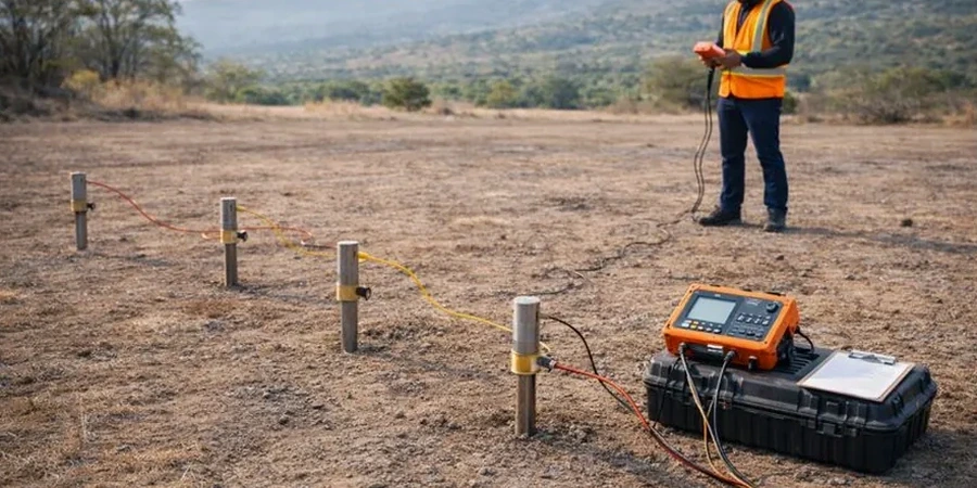
Pomona sits at about 850 feet above sea level, and much of its commercial and industrial development sits on Quaternary alluvium that can hide abandoned stream channels or perched groundwater pockets. A VES survey measures apparent resistivity at increasing electrode spacings, building a 1D model of layer resistivities and thicknesses right beneath the measurement point. In practice, we run multiple soundings and then correlate the resistivity values with soil types: dry gravels often read above 200 ohm-m, while clayey silts with high moisture drop below 20 ohm-m. The real value shows up when you need to trace a paleochannel across a warehouse site or estimate bedrock depth for a proposed mat foundation. Because the method is non-invasive, it works even in tight spaces between existing structures where a drill rig simply can't set up.
Electrical Resistivity & VES Surveys in Pomona, CA
Technical reference — Pomona

Local geotechnical context

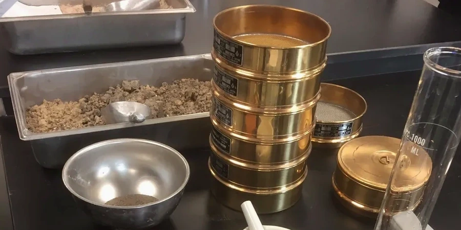
The mistake we see too often in Pomona is running a resistivity survey without calibrating the data to at least one boring. Alluvium can be tricky: a low-resistivity zone might be a clean saturated sand or a high-plasticity clay, and the engineering implications are completely different. We've reviewed reports where a consultant interpreted a 15 ohm-m layer as clay, recommended deep foundations, and the contractor later found perfectly competent cemented gravel with saline groundwater. That error added six figures to the foundation cost. The fix is straightforward: we always calibrate the resistivity model against a CPT sounding or soil samples tested for grain size distribution and Atterberg limits, so the geophysical interpretation translates directly into a usable geotechnical model.

Need a geotechnical assessment?

Reply within 24h.

Email: info@geotechnicalengineering1.com

Relevant standards

ASTM D6431-18 (Standard Guide for Using the DC Resistivity Method), ASTM D2487-17 (Classification of Soils for Engineering Purposes), IBC 2021 / CBC 2022 Chapter 18 (Soils and Foundations)

Typical values

ParameterTypical value
MethodSchlumberger array (VES), Wenner profiling
Max investigation depthUp to 100 ft typical (AB/2 = 150 ft)
Typical electrode spacing1.5 ft to 300 ft (AB/2)
Measured propertyApparent resistivity (ohm-m)
Data processing1D inversion, iso-resistivity maps
Reporting standardASTM D6431 for surface resistivity
Geophysical targetsWater table, bedrock, stratigraphy, contamination plumes

Common questions

What does a resistivity survey in Pomona typically cost?

For most mid-size commercial sites in Pomona, a VES survey with 8-12 sounding locations runs between US$620 and US$910 per sounding, depending on maximum depth and site access. A full 2D profiling line with 100+ electrodes will scale differently. We provide a fixed-price scope before mobilization.

How deep can VES see in the Pomona area?

Depth of investigation is controlled by the maximum current electrode spacing (AB/2). In practice, with AB/2 of 150 feet, we reliably resolve layering down to about 100 feet below ground surface. That covers most foundation and groundwater questions in the Pomona basin, though deeper bedrock targets may require longer spreads.

Does the presence of underground utilities affect the readings?

Yes, metallic pipes and conduits create strong artificial anomalies. Before any survey, we request utility maps and mark known lines. We orient our spreads to minimize coupling, and during data processing we can filter out obvious cultural noise if the utility location is well-documented.

What's the difference between resistivity and seismic refraction for bedrock mapping?

Resistivity responds to moisture, porosity, and clay content, while seismic refraction responds to mechanical stiffness. In Pomona's alluvium, we often find that resistivity is better for distinguishing saturated from dry granular layers, whereas seismic refraction gives a clearer bedrock velocity contrast. We frequently recommend both methods on the same survey line for a more complete interpretation.

How long does it take to get results from a resistivity survey?

Fieldwork for a standard VES survey of 10 soundings takes one to two days in good weather. We deliver preliminary depth-to-target estimates within 48 hours by email, with the full geophysical report including iso-resistivity maps and interpreted cross-sections following within five business days.

Location and service area

We serve projects in Pomona and surrounding areas.

View larger map